|
| *****SWAAG_ID***** | 965 |
| Date Entered | 05/12/2016 |
| Updated on | 07/12/2016 |
| Recorded by | Tim Laurie |
| Category | Earthworks |
| Record Type | Archaeology |
| Site Access | Public Access Land |
| Record Date | 24/11/2016 |
| Location | Stainmore Summit.At edge of the high fell North of the A66 Dual Carriageway |
| Civil Parish | Not known |
| Brit. National Grid | NY 873 132 |
| Altitude | 430m |
| Geology | The Little Limestone above a steep sandstone scarp slope. |
| Record Name | Maiden Castle, Stainmore. A small fortlet strategically located at Stainmore Summit on the line of the roman road, high above the Vale of Eden |
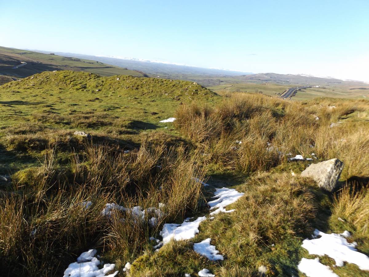
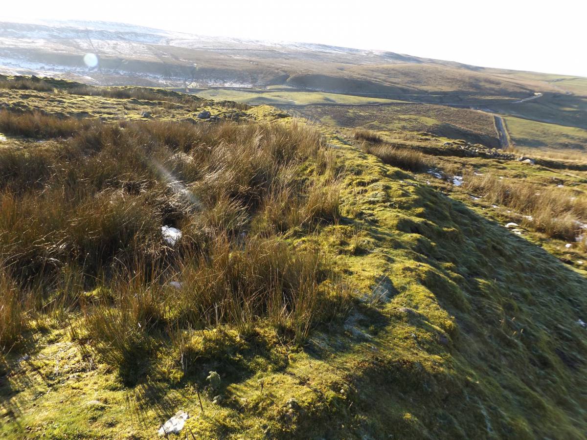
| Record Description | This small fortlet is strategically located to control traffic at the highest point on the line of the Roman Road where the road rises eastward from the Vale of Eden to cross the Pennine escarpment. The Roman road, seen here as a narrow and deep hollow way, passes through the centre of the fort. Other similar hollow ways take different tracks up to and beyond the fort. One of these leads to an entrance at the SW corner of the fort, another avoids the fort and passes the NW corner. The line of a later, probably recent and more substantial carriageway passes on the northern side of the fort. This later road is entirely grassed over.
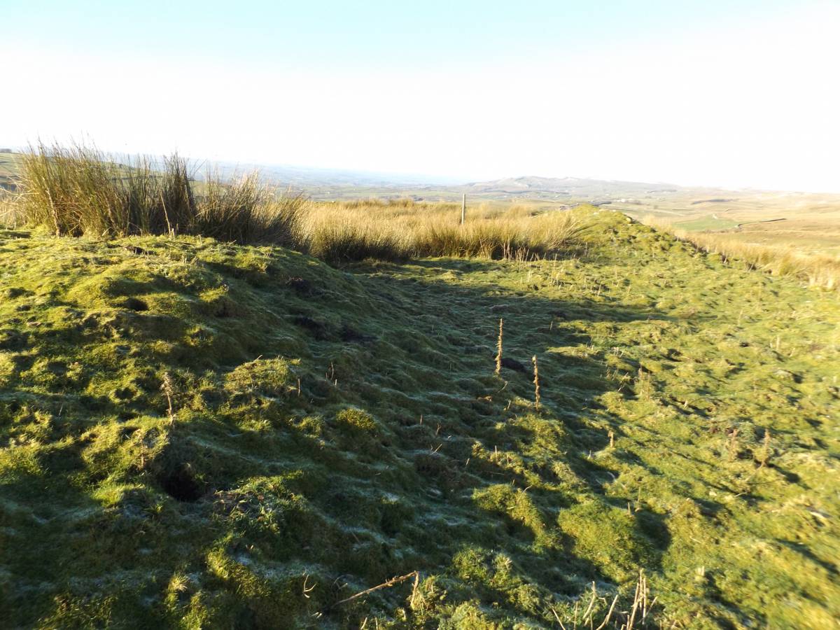
This small fortlet is defended by a single, relatively slight, bank and ditch. It is probable that the bank formed the footing of a timber stockade.
There are no visible structures to denote occupation within the fortlet.
However there are the disturbed remains of several substantial stone founded buildings together with smaller irregular hutments within a stone walled enclosure immediately to the east of the fort, to be recorded as a separate SWAAG Record. Most notable of these structures are the slight outline of at least one large circular building and the foundations of one very large rectangular building. These buildings may together constitute the 'barracks' of this outpost of the Roman Empire. The primary purpose being to control traffic across this, the lowest and most direct crossing of the Pennines.
This small fort may initially have provided an advance base for the expeditionary scout detachment acting as the reconnaissance unit for the Roman Advance into Northern Britain under the command of Petilius Cerialis during the years AD70-72. In later years this fort would have provided the base or a detachment controlling the traffic across the Pennines.
|
| Dimensions | 70m*70m and see photos. |
| Additional Notes | The See the photo images below for the spectacular location of this fortlet high above the present line of the A66.
Access to this fortlet and the roman road from the A66 is very difficult and great care is needed when parking on the lay-bys of this very busy road. The fort can be accessed from a busy lay- by on the east bound carriageway at the top of the steep pass at Stainmore Summit. Alternately, but only possible after a strenuous direct and pathless climb up the steep fell to the fort from a culvert passing under the A66 Road. This culvert can be accessed from the minor road to Kaber directly below the A66 road.
The settlement remains adjacent to the Maiden Castle Fortlet have not been surveyed within the A66 Project or recorded elsewhere in any detail so far as I am aware. This settlement will be the subject of a subsequent SWAAG Database Record. |
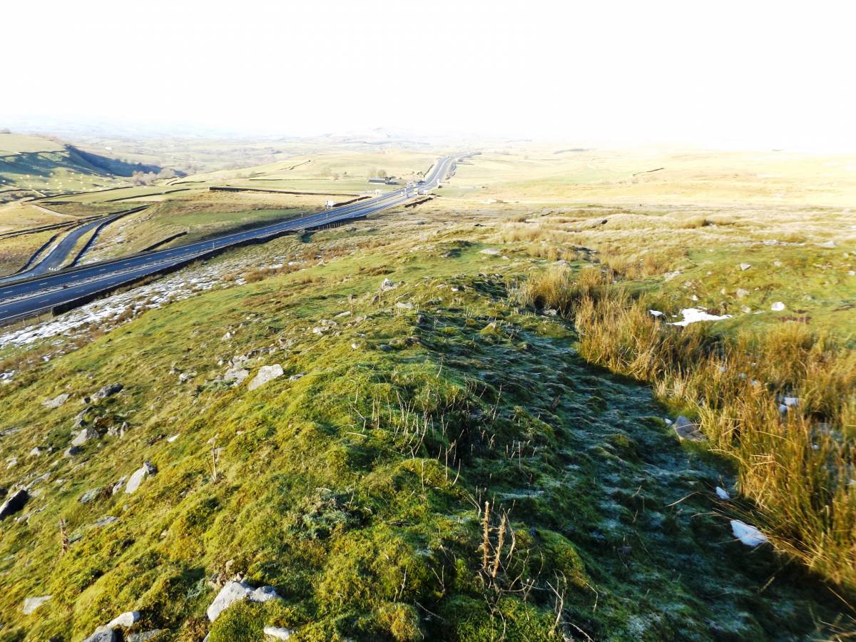
| Image 1 ID | 7056 Click image to enlarge |
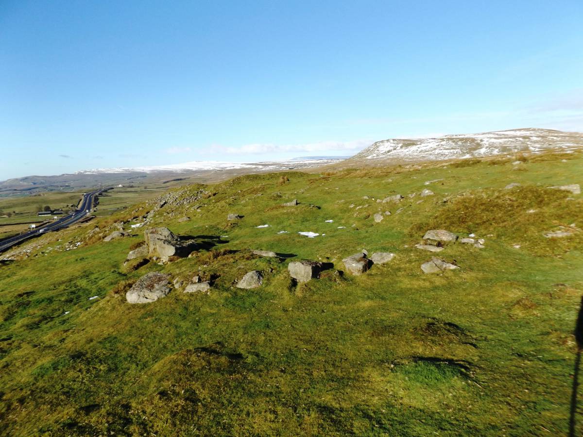
| Image 1 Description | The direct climb up to the fort is steep and rocky. The A66 Road passes far below on the way westward towards the Vale of Eden (Westmoreland), the Lake District (Cumberland) and then to Galloway and Ireland. | 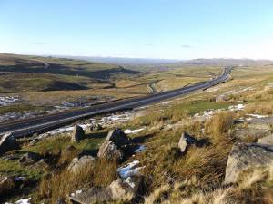 |
| Image 2 ID | 7057 Click image to enlarge |
| Image 2 Description | The upper edge of the Fell below the Fort is rocky and has been quarried. | 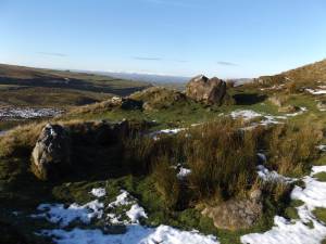 |
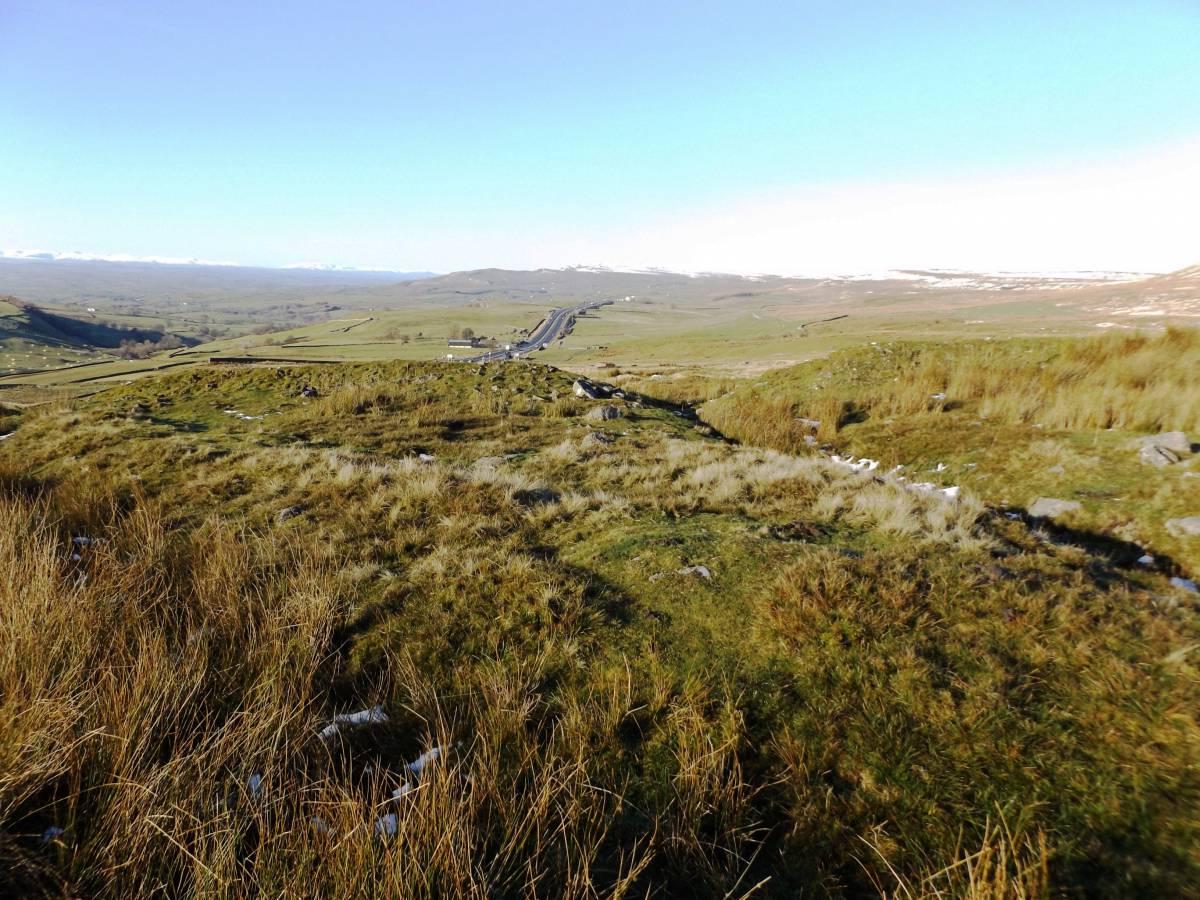
| Image 3 ID | 7072 Click image to enlarge |
| Image 3 Description | The Roman Road approached the fort from the West on this hollow way whick leads to an entrance through the centre of the western side of the Fort | 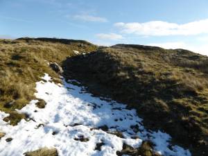 |
| Image 4 ID | 7059 Click image to enlarge |
| Image 4 Description | On the Eastern approach, the Roman Road is visible as a narrow, deep hollow way which leads directly to the entrance of the Fort through the eastern side. | 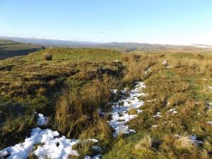 |
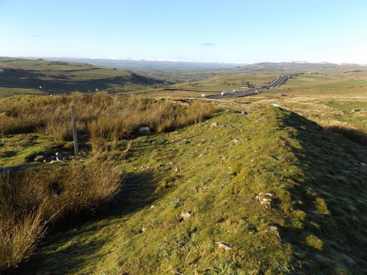
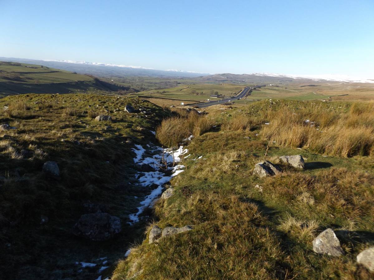
| Image 5 ID | 7060 Click image to enlarge |
| Image 5 Description | The Roman Road is visible as a narrow, deep hollow way which leads directly to the eastern entrance of the Fort | 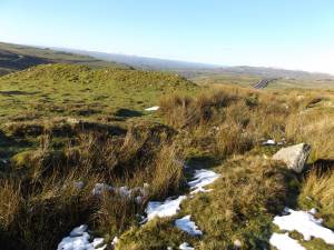 |
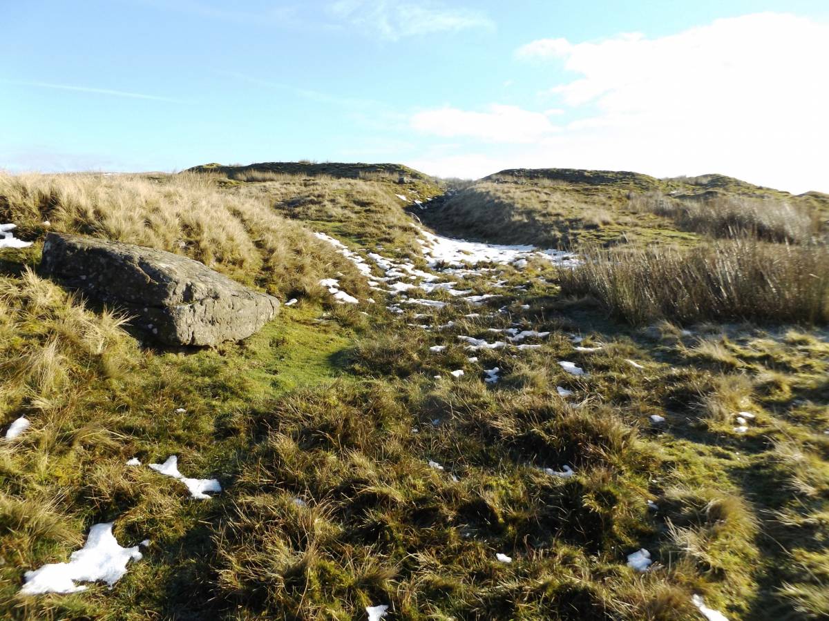
| Image 6 ID | 7061 Click image to enlarge |
| Image 6 Description | A wide gap has been cut through the NE Corner of the Fort. The reason for this gap is uncertain. | 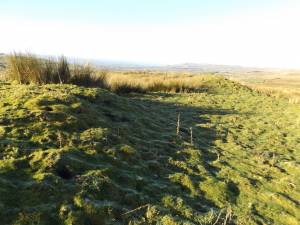 |
| Image 7 ID | 7065 Click image to enlarge |
| Image 7 Description | Vew westward to The Maiden Castle Fortlet across the remains of a settlement which, from various surface finds of Roman Pottery has been shown to be contemporary with the Fortlet. | 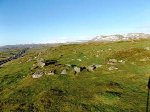 |
| Image 8 ID | 7063 Click image to enlarge |
| Image 8 Description | This low curving bank forms the Northern Side of the Fortlet. | 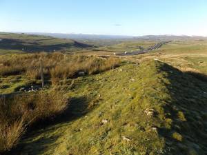 |
| Image 9 ID | 7066 Click image to enlarge |
| Image 9 Description | This low curving bank forms the Western Side of the Fortlet. | 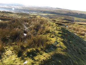 |
| Image 10 ID | 7071 Click image to enlarge |
| Image 10 Description | View westward from the settlement across the Vale of Eden. Blencathra and the other snow covered Lake District Hills prominent on the horizon. | 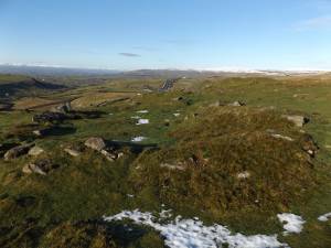 |
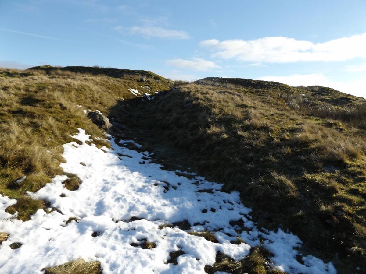
| Image 11 ID | 7072 Click image to enlarge |
| Image 11 Description | The Roman Road is visible as a narrow, deep hollow way which leads directly to the eastern entrance of the Fort | |
| Image 12 ID | 7073 Click image to enlarge |
| Image 12 Description | At least three different hollow ways lead up to the western side of Maiden Castle Fortlet. Two of these lead to gateways in the centre and SW Corner. One track skirts the NW corner of the Fort. |  |
| Image 13 ID | 7074 Click image to enlarge |
| Image 13 Description | This hollow way skirts the Fortlet passing outside the NW corner. | 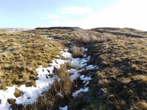 |
| Image 14 ID | 7075 Click image to enlarge |
| Image 14 Description | At least two hollow ways pass through the interior of the Fortlet. This approaches the central gateway in the West Side. |  |
| Image 15 ID | 7076 Click image to enlarge |
| Image 15 Description | This hollow Way leads to an entrance through the SW Corner of the Fort | 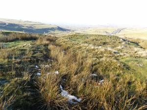 |
| Image 16 ID | 7077 Click image to enlarge |
| Image 16 Description | The South east corner of the fort. View Westward. | 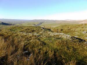 |
| Image 17 ID | 7078 Click image to enlarge |
| Image 17 Description | Entrance through the centre of the Eastern side of the fort. | 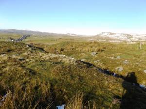 |
| Image 18 ID | 7079 Click image to enlarge |
| Image 18 Description | View of the hollow way inside the fort close to the entrance through the South west corner. | 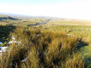 |
| Image 19 ID | 7080 Click image to enlarge |
| Image 19 Description | Slightly curving bank of the South side of the fort. |  |
| Image 20 ID | 7067 Click image to enlarge |
| Image 20 Description | The Western side of the fort with the central entrance. | 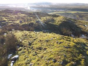 |